


 146 / 168

[
] 146
Community-based disaster risk
reduction in East Java
Eko Teguh Paripurno and Arif Rianto Budi Nugroho, Disaster Research and Management,
National Development University ‘Veteran’, Yogyakarta, Indonesia
M
ount Kelud, which is located on the borders of the Malang,
Kediri, and Blitar regencies of East Java province in
Indonesia is an active andesitic stratovolcano. In 1586,
ount Kelud erupted with a death toll of 10,000, and, during the
twentieth century, five eruptions occurred, in 1901, 1919, 1951,
1966, and 1990 with a total death toll of around 5,400. Eruptions
of Mount Kelud potentially threaten three regencies, and lava flows
threaten two. These primary and secondary riskmean that, within a
10km radius, Mount Kelud, is potentially a risk to 1,777,864 people.
Meanwhile, all these communities are at a low level of preparedness.
Mount Kelud is usually seen as a tourist destination, and the threat
of disasters has been neglected. The change, during the 2007 incident
from an explosive to an effusive eruption is still causing threats for
some villages around. This condition implies two threat scenarios:
firstly, if the dome of lava grows quickly, the threat changes from
an explosive eruption to the dome avalanche, as happened during
the recent eruption of Mount Merapi. Secondly, if the dome of lava
should be obstructed or stopped, the volume of the crater lake would
be larger than before, because the water sewer of the bottom crater
lake would be obstructed.
Lesson 1: Village-level disaster risk assessment
Village-level disaster risk analysis consists of a series
of activities: firstly, workshop training on disaster risk,
and secondly, participative disaster risk mapping. The
workshop training has transformed the level of partici-
pants’ understanding of:
• The concept and paradigm of disaster risk reduction
• The threat of Mount Kelud’s eruptions, analysis of
the vulnerability of communities to them, and their
capacity to deal with them
• Disaster risk reduction in relation to Mount Kelud
• Disaster management
• The concept of disaster risk reduction and
community-based disaster management.
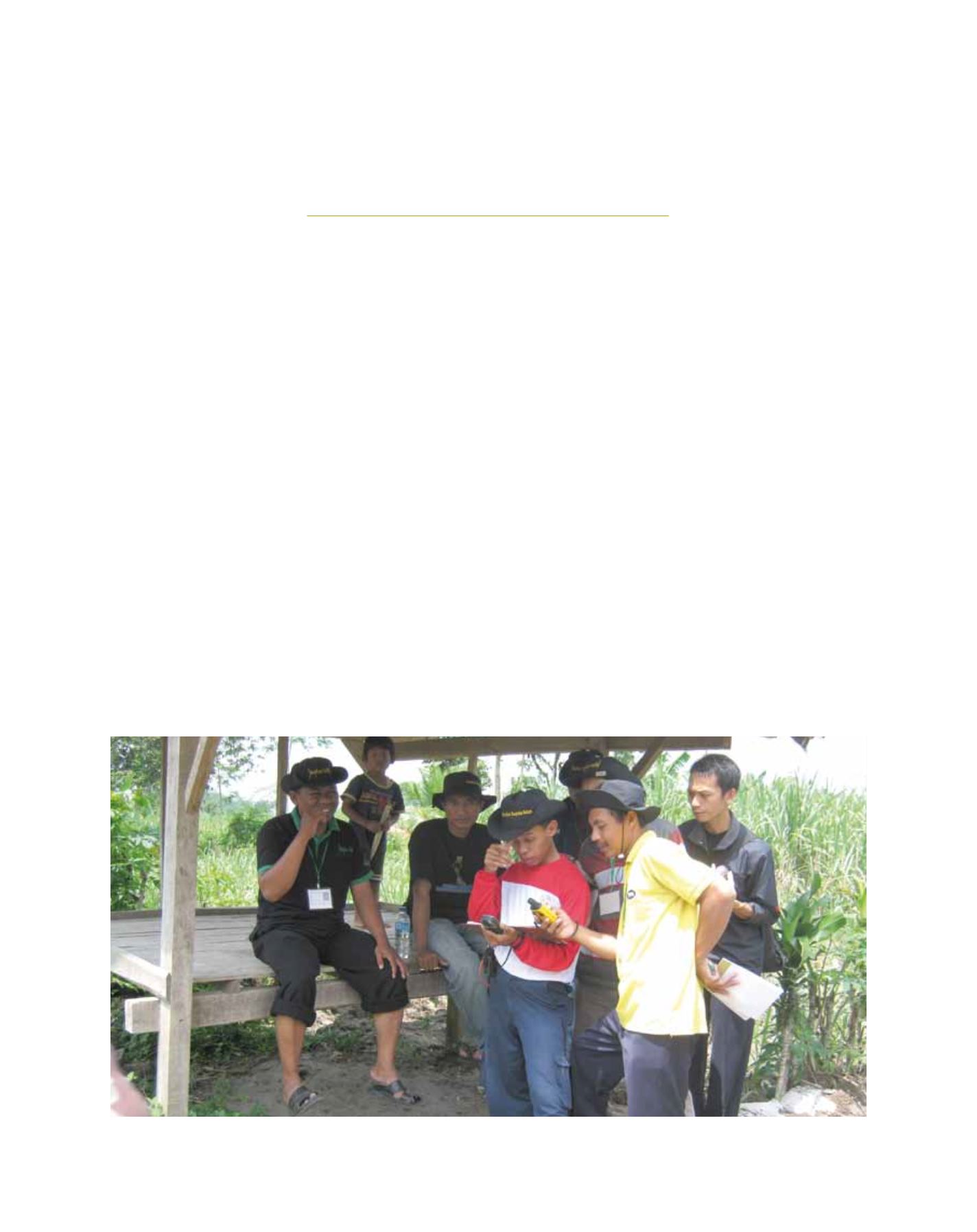
The participative disaster risk-mapping is carried out
after the workshop training on community-based disas-
ter risk analysis. The result is a ‘map’ of the village’s
disaster risks. To move towards participative village
disaster risk mapping, based on a geographical informa-
2048
Participatory mapping using global information system for village preparedness team
Image: DREaM UPN