


 51 / 168

[
] 51
referring to IBC 2009 will be incorporated. These efforts
are part of the disaster risk reduction (DRR) process in
Indonesia following recent major earthquake disasters.
Engineering practice
Except in large cities, compliance with the building
code is currently a big issue. Theoretically, this code
should be enforced through the enactment of local
building regulations by local government authorities
in Indonesia. Local building authorities are responsible
for overseeing the implementation of building regula-
tions, including the building code, through a building
permit system, but lack of capacity of local governments
has hampered the effective implementation of the code.
Only Jakarta, the capital city of Indonesia, is consid-
ered to have good practice in enforcing the building
permit system, with relatively good earthquake-resist-
ance engineering construction practice for high-rise
buildings through an independent building authority
committee reporting directly to the Governor. Many
other big cities critically need better building design
and construction enforcement and practices, and better
building administration and monitoring systems.
For engineered constructions (structures built
with engineers’ intervention) such as public and
private high-rise buildings, compliance is not gener-
ally a problem as engineering consultants are always
involved as a standard procedure. On the other hand,
for non-engineered structures (those built without
the intervention of engineers) such as houses and
low-storey residential and public buildings (schools,
local health centres, worship facilities), there are
seismometers have been installed in different periods (for example,
three and six components, short-period Z components, long-period
3 components, broadband type, strong motion). The great Indian
Ocean tsunami of 26 December 2004 has prompted various institu-
tions from different countries to develop the Indian Ocean Tsunami
Early Warning System, which depends on a dense seismic monitor-
ing network supported by the installation of more telemetric-based
equipment including accelerometers, which are connected to
communication satellite systems. The whole system is operated by
the national Meteorological, Climatological and Geophysical Agency
(BMKG). Presently, the virtual seismic network for the Indian Ocean
available at BMKG consists of about 230 stations.
8
Development of the Indonesian seismic hazard map and
seismic building codes
The 1970 loading code was based on a zoning map developed in
1962.
9
The loading code was updated in 1981, based on a 1978
study.
10
It was subsequently updated in 1987 and 1989 as a national
standard for seismic design of buildings, based on a 10 per cent
probability of exceedance (PE) in 25 years (200-year earthquake
return period). The current Indonesian seismic hazard map for
buildings, released in 2002, adopted a 10 per cent PE in 50 years
(475-year earthquake return period).
Considering the seismo-tectonics of the current map, it is
understood that many earthquake source zones (subduction and
shallow crustal faults) need to be considered with more up-to-date
maximum magnitude potential based on recent research findings.
In addition, more recent ground motion models must be adopted.
Following a series of strong earthquake occurrences, revision of the
current building codes is now in progress and it is proposed that
new Indonesian seismic building codes will adopt a two per cent PE
in 50 years hazard map. In addition, a performance-based concept
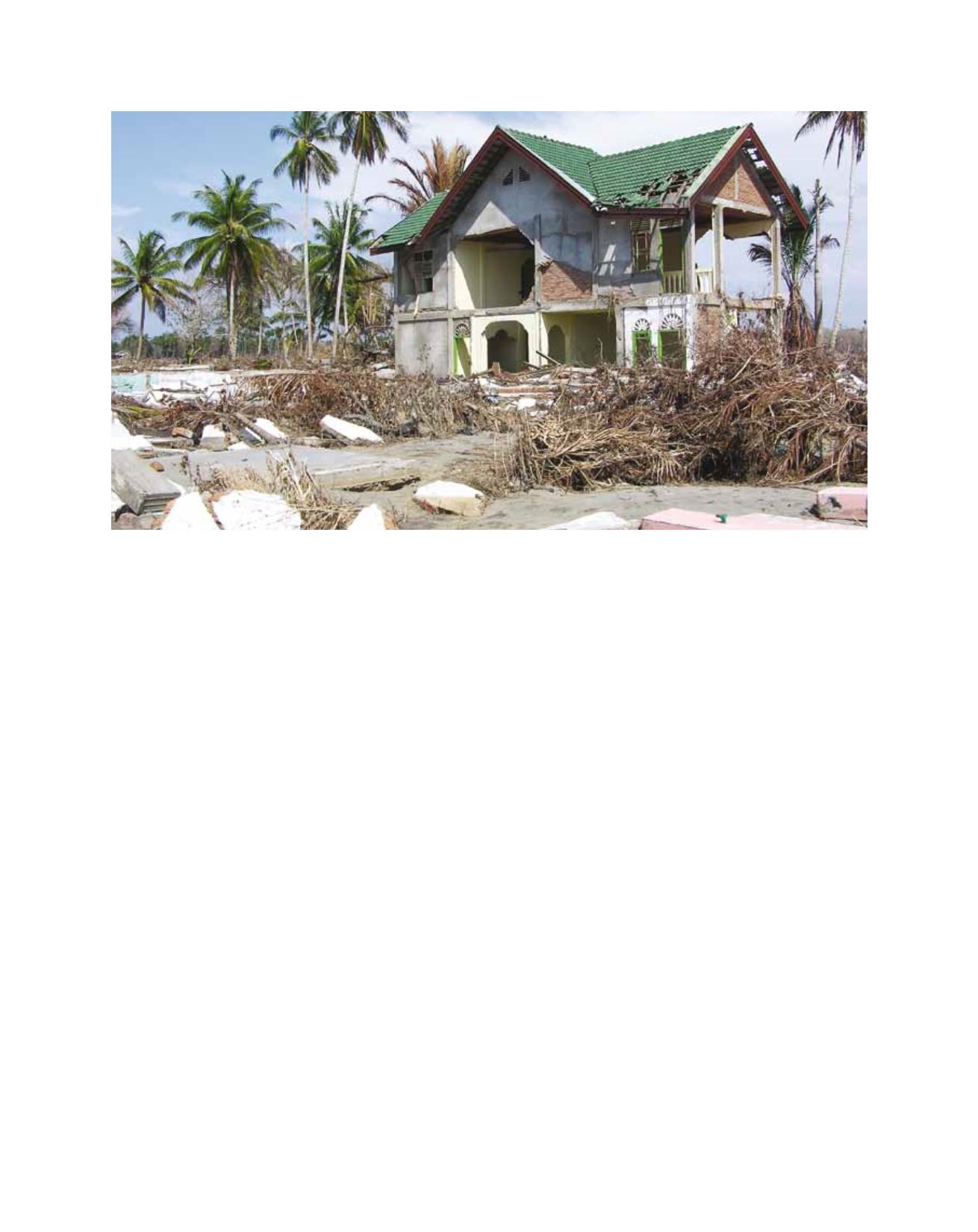
Tsunami damaged area in Meulaboh Aceh, 2004
Image: Krishna S Pribadi