


 128 / 287

[
] 129
O
bserving
, P
redicting
and
P
rojecting
C
limate
C
onditions
bration are also under study, such as the satellite 90-degree yaw
manoeuvre.
The total system design of IRS comes from the previous GLI on
ADEOS-2, as well as the Ocean Colour and Temperature Scanner
on ADEOS. IRS is a full catroptic optical system with a compact
conical scanner to avoid any colour aberration. The detector range is
covered by PV-MCT type detectors for TIR channels, while indium
gallium arsenide detectors were selected for shortwave infrared
(SWIR) to attain higher sensitivity and lower noise than on the GLI.
For the cryo-cooler of the TIR focal plane assembly, a staring cycle
cooler system is used. The required thermal environment for infra-
red detectors is about 55 Kelvin. For SWIR calibration we will also
use solar and internal light, the same as VNR. For TIR, an ambient
black body will be used as a high level input source. A deep space
view is used for both SWIR and TIR at zero level. For TIR band the
resolution is set at 500 metres, whereas the SWIR channel is set at
1 kilometre except for one 250-metre channel.
International cooperation
GCOM-W will play a role in the global precipitation
measurement (GPM), a joint mission between NASA
and Japan. GPM consists of a core satellite carrying
a dual-frequency precipitation radar, a microwave
radiometer and contributing satellites carrying
microwave radiometers. GPM will enable frequent
global observation of precipitation and water-related
quantities.
GCOM has also started cooperating with the National
Polar-orbiting Operational Environmental Satellite
System (NPOESS). NPOESS and GCOM will support
the operational and research needs of the meteorologi-
cal, oceanographic, environmental and climatic remote
sensing programmes as well as provide global environ-
mental support. Data from these satellites will also be
made available to meteorological and environmental
organizations to support their weather forecasting and
climate prediction capabilities. The USA and Japan
will jointly operate these two major satellite systems;
sharing data and conducting joint calibration, valida-
tion and science activities.
The GCOM satellite series in overview
The GCOM-W satellite series will globally observe
water-related quantities in the atmosphere, ocean and
on land. Data measured by AMSR-2 will be used to
derive: water vapour content, cloud water content and
precipitable water in the atmosphere; surface tempera-
ture, surface wind and ice in the ocean; and soil water
content and snowfall on the land. This data will be used
for societal benefits such as describing and forecasting
phenomena such as El Niño and La Niña, monitoring
sea-ice variations, monitoring and forecasting typhoons
and providing a meteorological data service to daily
weather forecasting facilities. Close collaboration mech-
anisms for the data use have already been established
with national and international operational organiza-
tions for meteorology, maritime operations and fishery
information services.
The GCOM-C satellite series will observe vegetation
on the land, phytoplankton (ocean colour) in the coastal
region and sea-surface temperature with a horizontal
resolution of 250 metres. Highly variable aerosols in the
atmosphere and snow, as well as ice parameters will be
observed. Data can be practically applied to benefit society
in collaboration with meteorological and fishery informa-
tion services. National and international environment
research institutes will analyse the global changes in vege-
tation and sea-surface temperature.
The GCOM programme is Japan’s first attempt at 13
years of continuous satellite observation with three series
of satellites, each with a five-year lifespan, and one-year
overlap. This mission was implemented because it is
necessary to reveal the relationship between climate and
the effects of human activity, namely to exclude the influ-
ences of solar activity, which change on an 11-year cycle,
and natural variability on shorter cycles, to improve the
accuracy of predicting climate change.
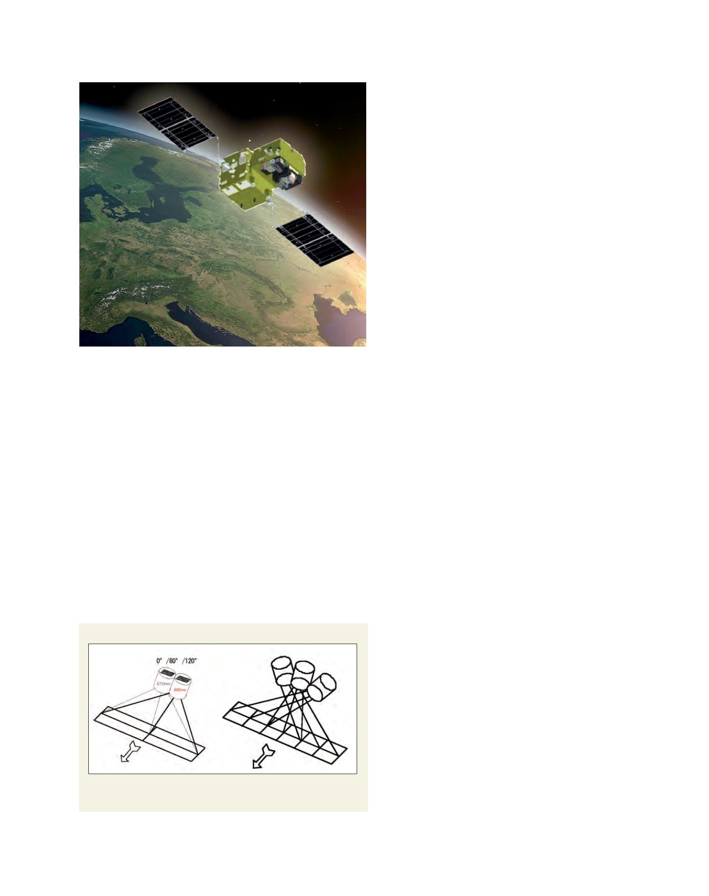
Polarimetry and non-polarimetry observation
Non-polarimetry part using three telescopes (left); Polarimetry part using two
telescopes (right)
Source: JAXA
Overview of the GCOM-C1 satellite
Image: JAXA