


 134 / 287

[
] 135
O
bserving
, P
redicting
and
P
rOjecting
c
limate
c
OnditiOns
are being coordinated with ground-based systems for
validation and they will build, as appropriate, upon
existing observations and products from satellites,
aircraft, and surface-based instruments.
Strengthening observing systems
The GEO membership is working to maintain and
expand the terrestrial, oceanic and atmospheric observ-
ing systems, both in-situ and space-based, underpinning
scientific efforts to understand the climate. These
systems are also central to the construction of GEOSS
and to advances in other societal benefit areas.
The Global Terrestrial Observing System (GTOS) and
others are developing the intergovernmental mecha-
nisms for coordinating the terrestrial observations needed
for climate studies and forecasting. In addition, GTOS is
supporting the preparation of guidancematerials, standards
and reporting guidelines for terrestrial observing systems. It
is also promotingwork on the associated data, metadata and
products that are needed to expand the comprehensiveness
of current networks and to facilitate the exchange of data.
The Global Ocean Observing System, the Partnership
for Observation of the Global Oceans and the Institute of
Electrical and Electronic Engineers, supported by another
GEOCommunity of Practice (on coastal zones), are enhanc-
ing the coordination of coastal and open-ocean observations
andmodelling initiatives. Related activities include: improv-
ing the global coverage and data accuracy of coastal and
open-ocean observing systems, as well as the management
Terrestrial Observing System’s Global Observation of Forest and
Land Cover Dynamics.
This programme is building a rigorous forest carbon monitoring,
reporting and verification capacity by integrating data from various
optical and radar Earth observation satellites. It uses agreed method-
ologies and models for estimating carbon content. The methodology is
validated by in situ observations of the carbon content of forests and soils.
Combining data from different radar frequencies makes it possible to
map the forest canopy and thus the biomass and carbon it contains. This
sophisticated radar imagery can then be overlaid with optical imagery to
provide the most complete remote representation of the forest possible.
The tools developed for this project could be mixed and matched to
suit the particulars of any given forest while enabling forest managers and
investors to demonstrate or confirm the accuracy and comparability of
the carbon measurements. This service has the potential to support the
emerging carbon markets while contributing to efforts to track whether
particular forests are net carbon emitters or net carbon sinks.
Meanwhile, the Japan Aerospace Exploration Agency, the US
National Aeronautics and Space Agency, the European Space
Agency and others are fostering the use of space-based greenhouse
gas (GHG) observations. They are consolidating data requirements
for the next generation of GHG monitoring satellite missions and
establishing an international group in close cooperation with the
CEOS Atmospheric Composition virtual constellation and the
GEO Community of Practice (an informal grouping of organiza-
tions sharing an interest in a particular societal issue) on the carbon
cycle. They are initially focusing on the end-to-end use of space-
based GHG data, particularly those of Japan’s Greenhouse Gases
Observing Satellite, which was launched in early 2009. These efforts
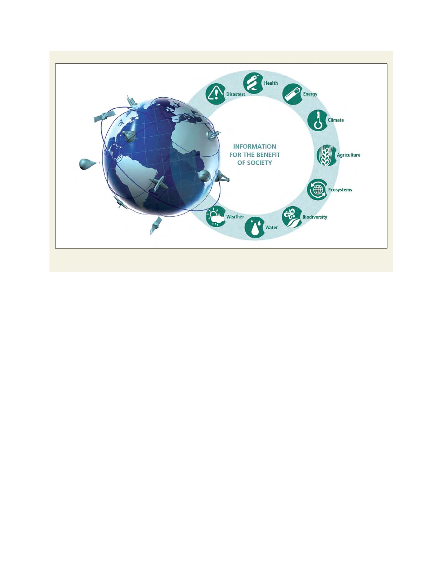
The Global Earth Observation System of Systems
The Global Earth Observation System of Systems provides decision-support capabilities and end-to-end services that support science-based
decision making on major global challenges