


 128 / 218

[
] 126
cance of this enhancement we built the yearly LST anomaly
between 2002 and 2003.
LAIC concept can explain the existence of the TIR anomalies
prior to major earthquakes. Using the collected experimental
data, we can reconstruct the possible evolution of the atmos-
phere-ionosphere anomalies preceding the Colima earthquake.
From the end of December 2003 we observe nighttime surface
temperature increases in the area of the earthquake preparation
(Curve A). One can associate this anomaly with the start of the
possible radon gas anomaly – the heating starts in the surface
ground layer. Then the gases appear in the near surface layer of
the atmosphere and heating becomes noticeable on the daytime
records of MODIS and on the records of the local meteorologi-
cal observatories (Curve D). The thermal air anomaly reaches its
maximum in the middle of January and is accompanied by the
absolute monthly minimum of the relative air humidity.
8
In summary, the complex analysis of TIR satellite data
retrieved by polar orbiting satellite measurements around the
time of selected earthquakes reveals that transient TIR anom-
alies occurred prior to these earthquakes and confirmed the
earlier findings. The process starts along the main tectonic
fault zone and variations could be seen in a radius of approx-
imately 100km around the epicentre over the land and sea.
The optimal conditions for detecting similar anomalies are
dry, cloud-free, low-vegetation scenes with a long observa-
tion baseline. Independent techniques based on different
Earth observation satellite sources confirms the existence of
positive TIR anomalies prior to strong earthquakes, charac-
terised by different seismo-tectonic settings. This outcome
could be used as basis for theoretical studies refining the
mechanism of these phenomena and for creating a new layer
of a global earthquake monitoring system which could benefit
the current seismic regional network and have huge economic
and societal effects on the building of early warning systems
over the major hazardous regions.
Earthquakes have significant impacts on society through the
destruction they bring. A local earthquake has the potential
for global impact when one includes societal loss in produc-
tion, energy, health, food and water resources. The ability to
sense earthquake potential could have enormous benefits for
society if the information is used intelligently to relay risk
potential. Much more research is needed in this area, but it
certainly offers a great deal of potential and should be an area
fully supported by the science community. We advocate a size-
able increase in the Earth observations used for land remote
sensing. This will allow us to understand the uncertainty in
such predictions, and realise the social science impacts of earth-
quake prediction.
10
20
30
0
30
Nov
RMS Temperature residual 2003-2004 (˚C)
A. Running average T
2003
-T
2004
Terra/MODIS LST night
B. Running average T
2003
-T
2004
Aqua/MODIS LST day
C. Running average T
2003
-T
2004
test area MODIS/Terra LST night
D. Running average T
2003
-T
2004
night air T for Colima
04
Dec
08
Dec
12
Dec
16
Dec
20
Dec
24
Dec
28
Dec
01
Jan
05
Jan
09
Jan
13
Jan
17
Jan
21
Jan
25
Jan
29
Jan
02
Feb
06
Feb
10
Feb
14
Feb
18
Feb
22
Feb
26
Feb
02
Mar
Colima M7.9 earthquake - January 21, 2003
Joint temperature variations (A, B, and C) satellite, and ground air temperature (D) variations around M7.6 Colima 01.22.2003.
Source: NASA
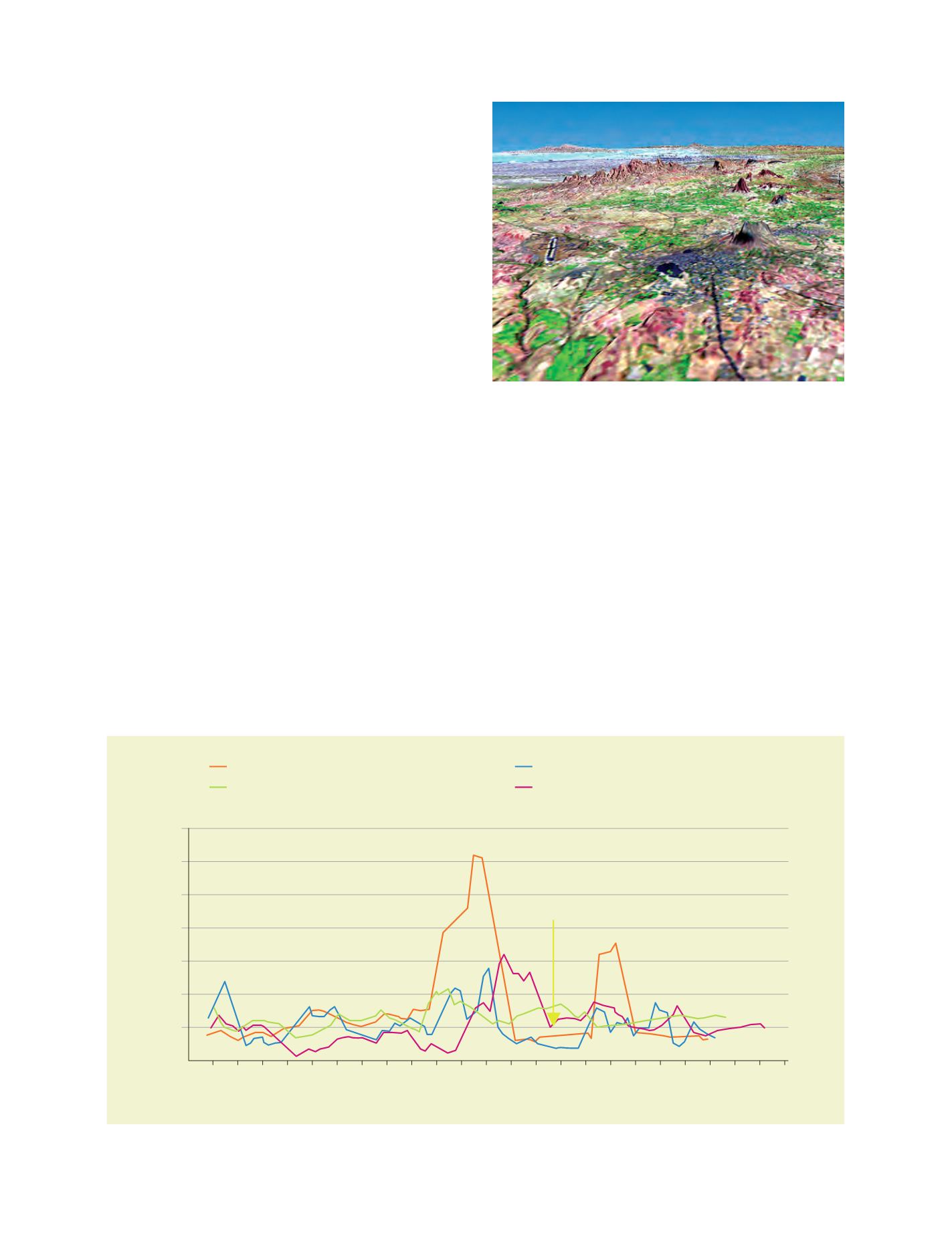
Bhuj earthquake 2001: Image created by combining Landsat 7 and
SRTM data. The gray area in the middle of the picture shows the city
of Bhuj, which was almost completely destroyed
Photo: NASA/JPL/NGA