


 163 / 218

[
] 161
the use of operational space technologies in environmental
monitoring for some time.
The programme aims to provide decision-makers in the
Regional Economic Communities, the Commission of the
African Union and at national level with full access to the
environmental data and products they need to improve
national and regional policy and decision-making processes.
It is hoped that this will enable better management of natural
resources and confidence to successfully face the challenges
of sustainable development.
AMESD will provide continuity to PUMA by ensuring that
the equipment deployed during the latter project is main-
tained and upgraded. Additionally, AMESD will greatly
expand the resources and capabilities of the national and
regional institutions involved in the daily management and
monitoring of environmental resources such as water, crop-
lands, rangelands, natural habitats and coastal and marine
resources. The initiative will also benefit institutions in envi-
ronment-related sectors such as disaster management,
including hydrometeorological, agricultural, livestock,
forestry, wildlife and sea safety services.
Most importantly, however, AMESD aims to improve the
lives and prospects of the 350 million disadvantaged people in
Africa currently enduring poverty and hardship, whose liveli-
hoods depend heavily on their environment.
EUMETSAT: making AMESD a reality
EUMETSAT’s participation in AMESD – and in PUMA before
it – reflects its commitment to supporting, through its satel-
lite data, products and services, sustainable development in
Africa. EUMETSAT’s role, as the organisation responsible for
Europe’s operational meteorological satellites, is fundamen-
tal to the successful implementation of AMESD. It
encompasses:
through, for example, better water and agricultural manage-
ment. It also equipped them with effective tools to monitor
and mitigate extreme weather events and improve disaster
management strategies, thus saving lives and property.
PUMA also established six successful pilot projects to foster
the use of Earth observation data for non-meteorological
purposes for example, monitoring coastal fish stocks off Kenya
and Senegal, as well as providing South Africa’s power grid
industry with an early warning system for land fires (a major
cause of power outages and service disruptions).
In August 2002, the World Summit on Sustainable
Development, held in Johannesburg, South Africa, published
an implementation plan prioritising the need for timely access
to accurate and reliable satellite information. It was acknowl-
edged that meeting the plan’s objectives required developing
countries to build and strengthen their capacity to assimilate
and generate knowledge about their environments and support
sustainable development through the use of modern satellite
imaging technologies.
As a direct consequence of PUMA, the five participating
African Regional Economic Communities were able to respond
almost immediately. In September 2002 they signed the Dakar
Declaration, requesting the European Union to commission and
fund a feasibility study of AMESD as a natural progression of
PUMA.
Safeguarding Africa’s people and natural resources
AMESD extends the operational use of Earth observation tech-
nologies and data from merely meteorological, to environment
and climate monitoring applications. The initiative will enable
all African national and regional institutions focusing on envi-
ronment and natural resources, as well as the continent’s
NMHS, to catch up technologically with their counterparts in
Europe, America and Asia, all of whom have benefited from
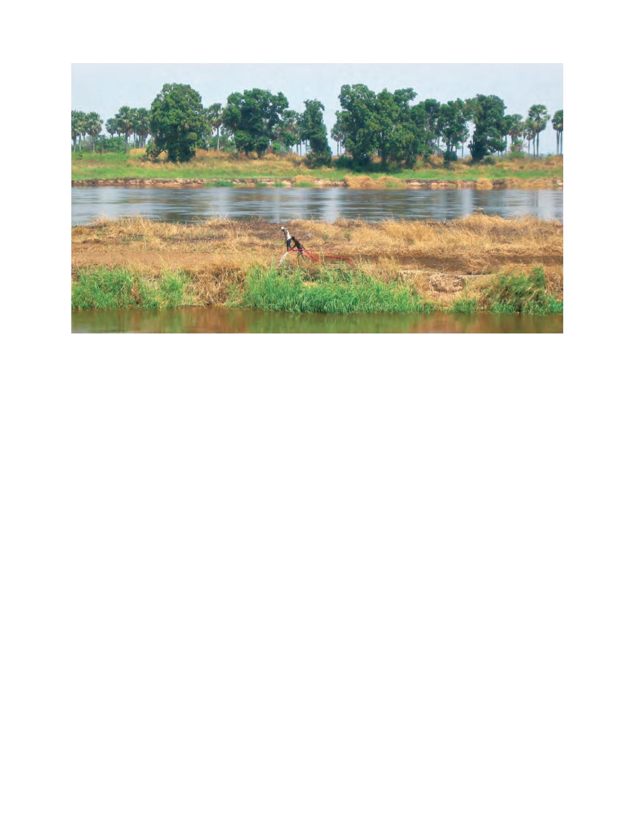
Like PUMA, AMESD is an international cooperation project with the objective of providing all African nations with the resources they need to
manage their environment more effectively and ensure long-term sustainable development
Photo: Copyright EUMETSAT