


 112 / 196

[
] 110
The NDMF provides for the establishment of a Technical Advisory
Committee (TAC) comprising nationally recognized specialists in
the hazards, vulnerabilities and disaster risks being assessed. In estab-
lishing standards and exercising quality control, the TAC will ensure
that uniform methodology is used for assessments, that all disaster
risk management planning and practice is based on scientifically
sound risk assessments, and that those commissioning disaster risk
assessments can access advice and technical support.
Early warning systems
Early warning systems relating to fire are maintained through the
Advanced Fire Information System (AFIS) and the Fire Danger Index
(FDI). Both use satellite technology combined with geographical
information systems (GIS) and short messaging service (SMS) tech-
nology to monitor fire events and warn relevant role players.
The FDI is a web mapping application that combines data gathered
from weather stations throughout South Africa. This is then orga-
nized and processed to provide an input to the FDI model that
determines the weather conditions conducive to fire events. The final
product is an ESRI ArcIMS map showing areas at high risk for that
time. The FDI is updated twice daily and SMS is used to inform the
relevant role players of the fire risk status for their areas.
AFIS is the first near-real-time operational satellite fire monitoring
system in southern Africa. Satellite technology is employed to
monitor live fires at up to 15-minute intervals and display these on
a web mapping application. The Satellite Application Centre is in
the process of customizing and further developing AFIS to enable
not only the detection of fires but also the prediction and assessment
of future fire events.
The NDMC has a mandate to gather, collate, analyse and dissem-
inate relevant information about disaster events as specified by the
Disaster Management Act. Communication of these events is
managed through web applications, cellular technology and e-mail.
The Situation Reporting application enables role players to capture
Case study: Air pollution in South Durban,
KwaZulu-Natal
Vulnerable communities are adversely affected by the low-
level, long-term risks of living in close contact with the
environment. South Durban provides an important example
of human vulnerability to air pollution. Durban is the largest
industrial centre of the eThekwini Metropolitan Area, where
working class communities live in close proximity to
chemical and other ‘dirty’ industries, and are exposed to
the accompanying health risks. This industrial region
includes the nation’s largest petroleum refinery, its second-
largest petrochemical factory, and 180 smokestack
operations. The complex land-use mix is compounded by
the geography of the area, the topography being a basin,
with frequent inversion layers and poor air circulation that
cause aggravating air pollution problems.
The scale and scope of the air pollution problem in South
Durban has been fiercely contested over the years, abetted
by a shortage of reliable information on the true extent of
the problem. The area has seen intensifying environmental
activism since the early 1990s, particularly from
organizations such as the South Durban Environmental
Alliance, an umbrella organization.
Until recently, little incentive or coercion existed for
companies in South Durban to adhere to environmental
emission standards. Despite a comprehensive framework
of environmental legislation, enforcement in the area has
been weak due to a lack of external monitoring and
enforcement capacity.
In an effort to find a sustainable solution to the poor air
quality problem in the South Durban Basin, the Government
initiated the South Durban Basin Multi Point Plan (MPP),
which received multi-stakeholder endorsement in May
2000 and cabinet approval in October 2000. Key project
areas include establishing a modern air quality
management system comprising 11 air quality monitoring
stations; undertaking a health study to measure exposure
levels; setting air pollution standards; and phasing out
polluting fuels in an effort to reduce sulphur dioxide and
fugitive gas emissions.
The MPP has contributed to a 45 per cent reduction in
sulphur dioxide emissions and to the phasing out of fuels
with excessive sulphur content. It has also initiated an
investment of over ZAR1 billion from industries that
contributed to the sulphur dioxide reduction plan. Further
reductions in sulphur dioxide emissions are anticipated
over the next few years through continuing regulatory
intervention.
South Durban is a good example of how participatory
processes involving stakeholders, the local community,
government and industry, form the pivotal component in
making MPP a reality and, most important, in delivering
quantifiable results.
One outcome of the MPP is that the Government is
considering other potential pollution hotspots in the
country, such as the Vaal Triangle. These could be declared
priority areas under the new Air Quality Act, and therefore
deemed suitable for the MPP approach in dealing with air
pollution, which in turn could help to address human
vulnerability.
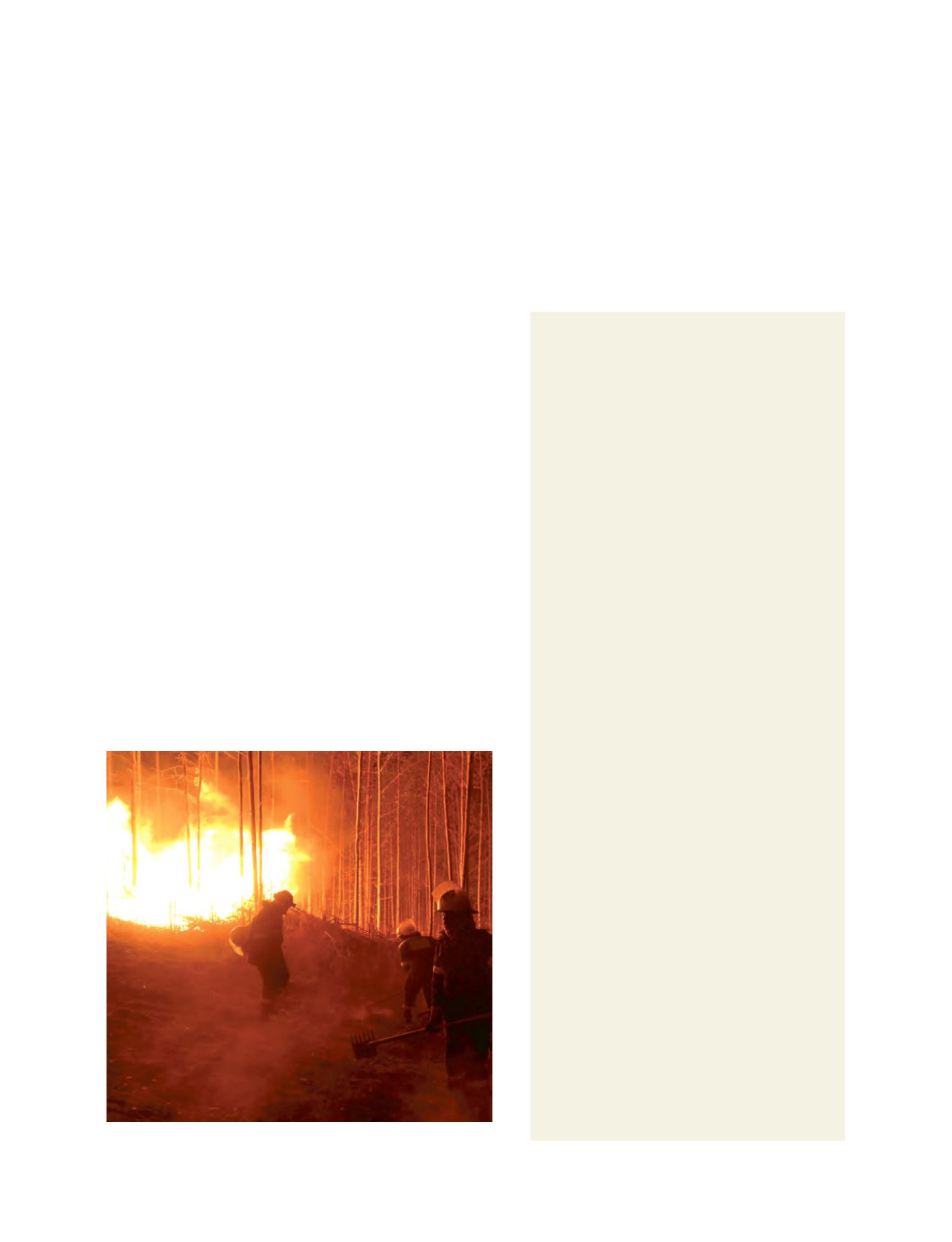
July 2007 wildfires in Mpumalanga
Image: Working on Fire
events and their associated properties on web-based
applications with spatial and non-spatial attributes for
the events repository hosted in the NDMC database.
Provincial, district and local role players can use the
NDMC database, together with web mapping technol-
ogy, to generate reports on events based on temporal,
spatial or attribute levels in the form of maps, graphs
and reports.