


 134 / 156

Another example comes from the fight against forest fires.
Thanks to the Global Monitoring for Environment and Security
(GMES) service elements funded by the European Space Agency,
annual mapping of burnt areas derived from satellite pictures has
become a standard practice in the Mediterranean basin, comple-
menting and illustratinig fire databases maintained by fire fighters.
Such a systematic annual mapping of burnt areas helps to main-
tain records of risk and its consequences beyond human memory.
In the long run, typical patterns such as ‘fire corridors’ are
documented through objective data and not only the memories
of witnesses. A side effect of such remote sensing data is the ability
to detect scattered, newly built habitats, especially at the
urban/forest boundary. While in theory, such information should
be commonly available through geographic surveys and in digital
format from the cadastre, in practice it is not, for a combination
of reasons ranging from illegal buildings, holes in information
sharing or simply gaps in updating information. This type of infor-
mation on human and economic assets is indeed extremely
important to minimizing vulnerability and, if needed, in efficient
rescue planning. Similarly, the on-demand mapping of areas
affected by fires of unusual size or impact provides an invaluable
assessment tool, as evidenced by the request of the local govern-
ment of New Caledonia after fires around Christmas in 2005 near
its capital Nouméa.
Beside their technical specification and use in regulatory activ-
ities, such maps derived from satellite imagery carry the memory
of risk to communities in a straightforward way.
For such services, demonstrated by projects like RISKEOS or
RESPOND, to be brought in and accepted by those communi-
ties, continuity of observations must be guaranteed over long
periods, much longer than a decade. In this respect, a decisive
step was taken by the ministers of the European Space Agency’s
member states, when they gave the go-ahead for GMES.
The European Space Agency supervises the development and
launch of the space segment of this ambitious programme, which
includes a series of recurrent satellites known as Sentinels.
Sentinel-1 will carry a C-band radar imager that will provide conti-
nuity in all-weather observation of floods or oil spills and repeated
observation of seismogenetic areas, along the lines of ERS and
ENVISAT satellites. Sentinel-2 will continue the well-known SPOT
and LANDSAT multi-spectral imagers with their ability to map
floods and other land events. Sentinel-3 deals with oceanogra-
phy and global land cover observation, while Sentinel-4 and
Sentinel-5 are dedicated to atmospheric chemistry, air quality and
climate applications. Together with dual use, very high resolu-
tion satellites such as CosmoSkyMed, Pleiades and TerraSAR,
built respectively by Italy, France and Germany, this programme
will allow Europe to bring a substantial contribution to a Global
Earth Observation System of Systems (GEOSS).
Actually, the impact of the charter on disaster response, after
events like the tsunami or the Kashmir earthquake, have created
expectations for easy, inexpensive access to satellite data about a
disaster, even for those events which did not lead to a specific acti-
vation. After the Asian tsunami, special collections of satellite data
were made widely available on an exceptional basis: one of the
objectives of the GEOSS implementation plan is to render access
to such data as easy as possible in a cheap and affordable way, so
as to allow communities to take maximum benefit from them.
[
] 134
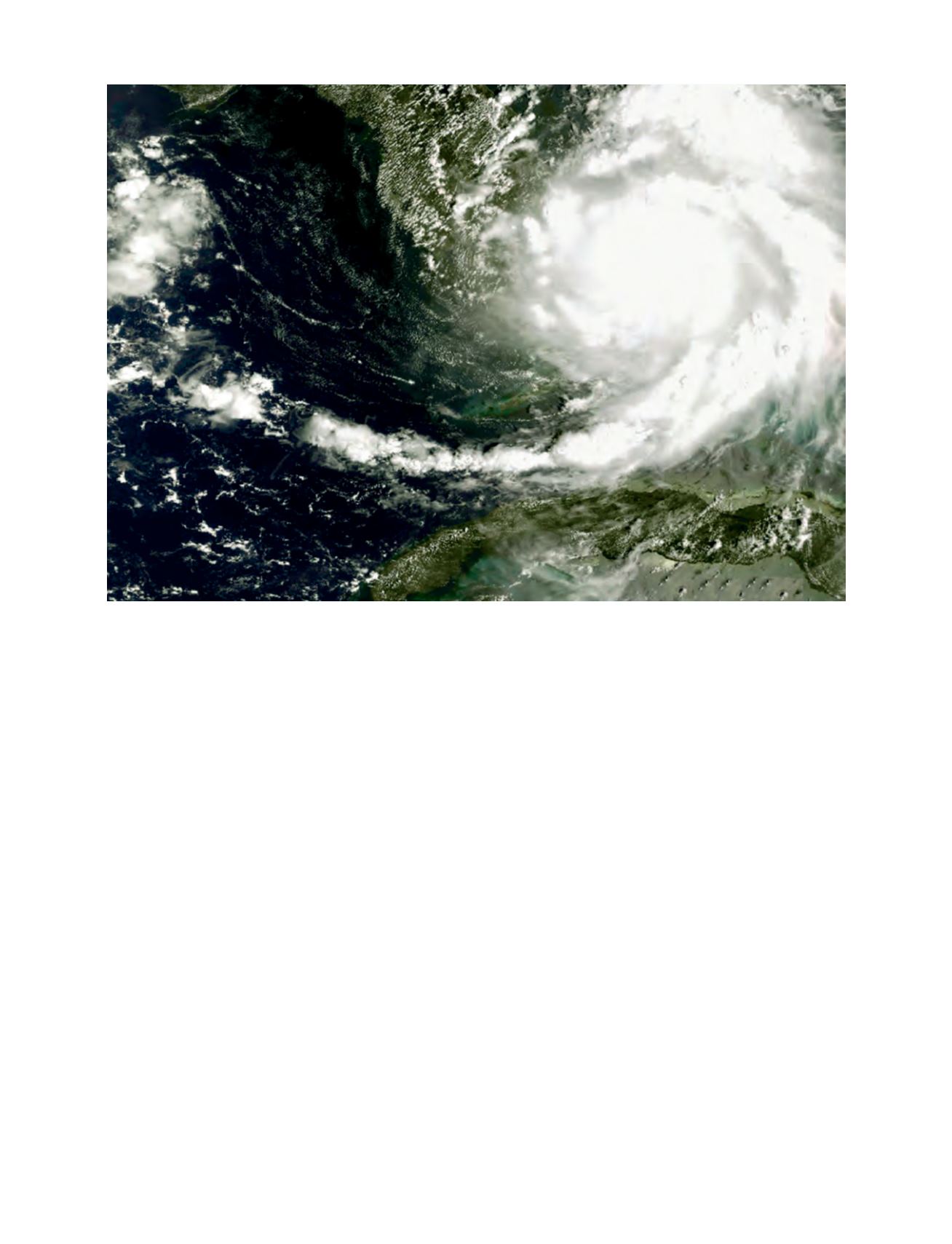
Hurricane Katrina off southern Florida, seen by MERIS/ENVISAT on 25 August 2005
Image: ESA