


 78 / 168

[
] 78
Reducing vulnerabilities and
enhancing resilience in Nigeria
Muhammad Sani Sidi, Director General, National Emergency Management Agency, Nigeria
A
gwagune is a community in Cross River State, Nigeria.
It lies between latitude 5°41’ and 5°41’ and longitude
7°50’E and 8°E, and consists of flat to gently-undulating
plains developed over sandstone, shale and coastal plain sands.
The bank of the Cross River has been severely eroded around
Agwagune. Rainfall upstream of Agwagune is between 300mm
and 3,500mm, leading to high runoff. This is also exacerbated by
deforestation for urbanization and agricultural activities. Over
the past 50 years, the land has receded as much as 120 metres
and has gone down to as close as 9-13 metres
t
o the commu-
nity. In addition to this, there is perennial severe flooding. At
the peak of the rains, the river overtops its bank and floods the
town while the inflow into the stream inundates access roads to
the community, thus trapping the people. Flood levels on houses
can reach 1.6 metres or more and commuting between streets is
mostly by canoe. Destruction of houses through landslides has
also been recorded.
The Agwagune rehabilitation project was conceived as a result of the
perennial flooding/landslides that have ravaged the community with
grave humanitarian consequences over the years. This project is a
joint disaster risk reduction (DRR) programme, being
implemented by a committee comprising the following
ministries and organizations:
• Federal Ministry of Environment
• Federal Ministry of Housing and Urban
Development
• Office of the Surveyor-General of the Federation
• Cross River State
• Biase Local Government Area
• Aqwagune Community
• National Emergency Management Agency (NEMA).
The community donated the land area of about 2,591
hectares for the project. Biase Local Government
provided basic facilities like markets and clinics
through budgetary provision. The Cross River State
government undertook the perimeter survey and
produced the layout design, access roads, water,
electricity and environmental protection works. The
Federal Ministry of Environment is to undertake
mitigation works against flooding and landslide, and
NEMA is to provide 400 flats consisting of 200 blocks
of two-bedroom semi-detached bungalows.
DRR measures
Based on various assessments, participatory discussion
and technical analysis of the situation, the following
DRR measures were proposed:
• Resettlement of the entire population on higher and
safer grounds
• Provision of erosion and flood control structures for
the proposed new settlement
• Riverbank protection works for the entire area
• A long-term plan to dredge the Cross River to
protect other communities along the bank.
Due to the campaign to promote awareness on DRR,
embarked upon by NEMA and the State Emergency
Management Agency in Nigeria, the community agreed
to be resettled. The development of the New Agwagune
Town involved the construction of 200 housing units of
400 flats; 12 kilometres of road network and concrete
side-drains; and 17.65 kilometres of storm drainage
systems. Already, 17 housing units have been commis-
sioned and handed over to members of the community
who are most affected by floods and erosion.
2013
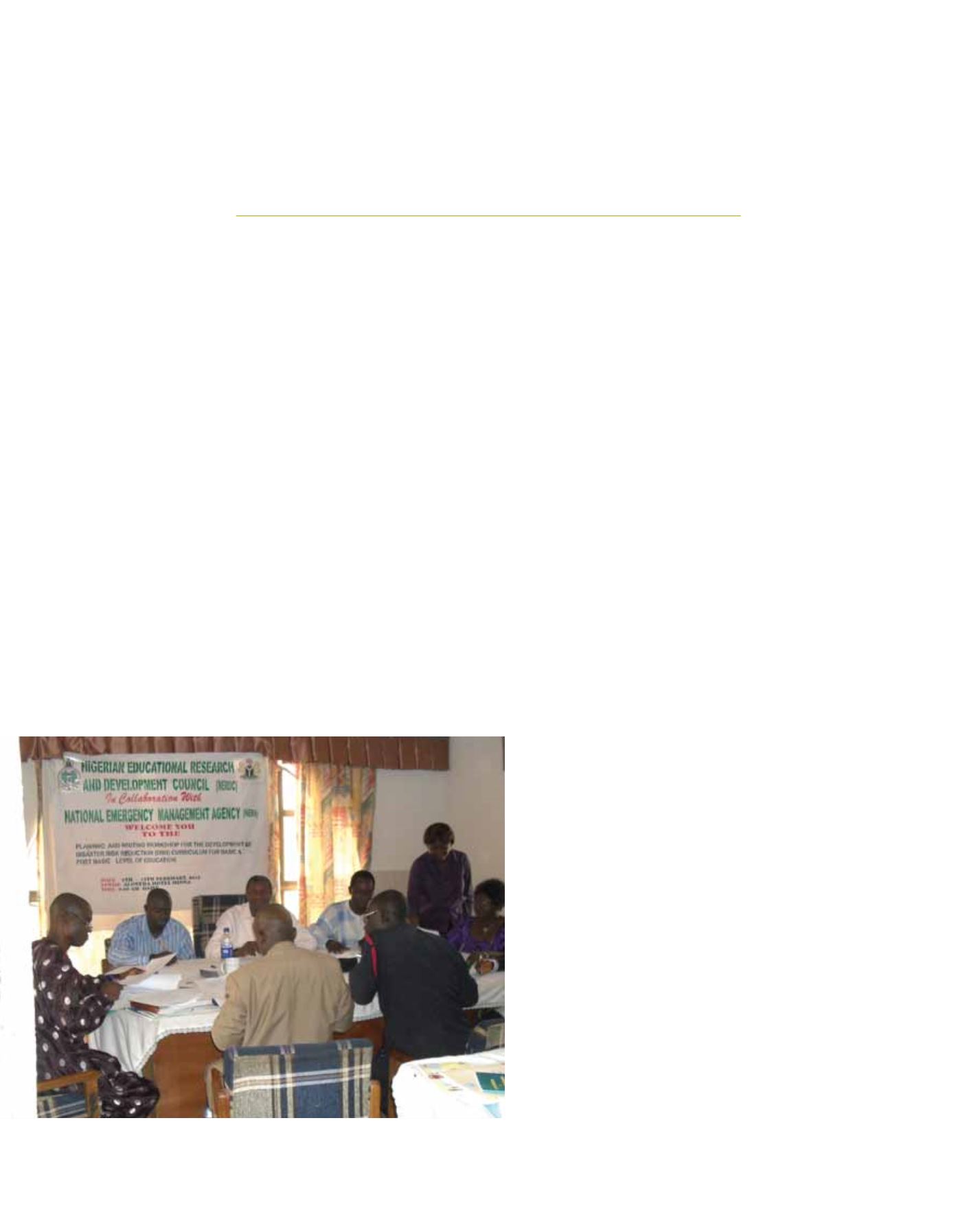
NEMA and stakeholders developing DRR curriculum for primary and secondary education
Image: NEMA, 2010