


 146 / 196

[
] 144
cations. Today’s integrated projects require an exact knowledge of
the territory. Vulnerability reduction projects usually take on a
regional dimension in which satellite derived maps become indis-
pensable for their ability to generate information over extensive
territories. They can do this in a shorter time and more economi-
cally than previous tools.
We have learnt much from our experience in oil producing coun-
tries, for example, where the topics of risk and vulnerability are
interlinked with the issue of local investment of the benefits generated
by the oil industry, taking account of agricultural, social and economic
variables that are difficult to represent in a non-GIS environment.
Information management tools are more effective when coupled
with the capability to handle them. This capability exists today in
most international organizations with an operational mandate, even
at the level of field office. Conversely, when developing this capabil-
ity at local level in developing countries, the issue of capacity retention
arises and must be tackled. The expertise accumulated within
UNOSAT’s technical team, including extensive field experience, allows
the programme to provide a new technological edge to local capac-
ity development. This takes the form of specific training modules for
both users and trainers. The aim is to create a local GIS
and cartographic centre that will continue operating
autonomously after the conclusion of the project.
Disaster prevention is part of a cycle that will
inevitably include emergencies. During crises, satellite
solutions help the planning, implementation and coor-
dination of humanitarian relief operations. Since 2003,
UNOSAT has run the humanitarian rapid mapping
service, which has been activated over 120 times by
relief and coordination agencies. UNOSAT operates the
service 24 hours a day, all year round. It ensures that
experts are available whenever needed for rapid acqui-
sition and processing of satellite imagery and data for
the creation of map and GIS layers, in support of emer-
gency response and humanitarian relief coordination.
This support service is available at no cost to users
involved in emergency response. UN staff in the field
access the products via local UN structures or the Web,
while other users may download maps from our website
or the sites of various partners, as well as GeoRSS-feeds.
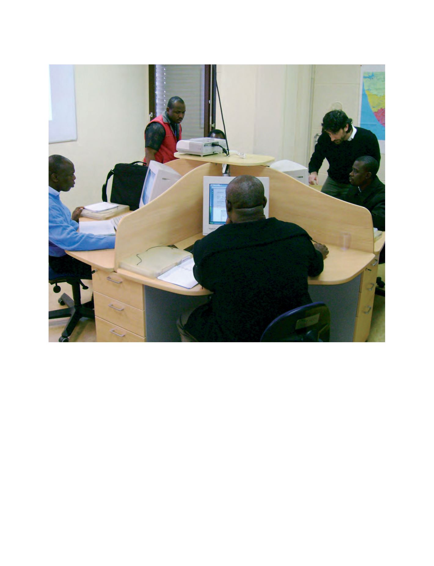
Capacity development at local and regional level: training of officials from Nigeria
Image: UNOSAT