


 97 / 156

Prefecture in disaster management, Kokusai Kogyo promoted
the incorporation of tsunami countermeasures into community
development based on the hazard map. For example, recogniz-
ing that evacuation areas were on elevated land, evacuation
routes were identified on the hazard map and investigated to
see whether they could be used as pathways in actual emer-
gencies. Consequently, stonewalls were removed, steep cliffs
were protected with retaining walls, and lighting facilities were
installed in case people have to evacuate at night. The routes
were equipped with rails to cater for the aging of the local popu-
lation, and the bridges on the routes were reinforced to be
quakeproof. For the prompt evacuation of not only the residents
but also of tourists, signposts were placed to point out the evac-
uation routes. Even though the evacuation routes are developed,
there are still areas where it will take time for people to evacu-
ate in the event of tsunami risk. In such areas, public buildings
such as schools, community halls and hospitals were reinforced
and designated as evacuation shelters. In addition, an ‘evacua-
tion tower’ was strategically positioned.
The southern part of the Wakayama coastal region is close
to the Nankai Trough, which has been the epicentre of severe
earthquakes and tsunamis every 100 to 150 years. It is esti-
mated that a tsunami caused by the next large earthquake will
arrive at the southern coastal area within ten minutes. For
[
] 97
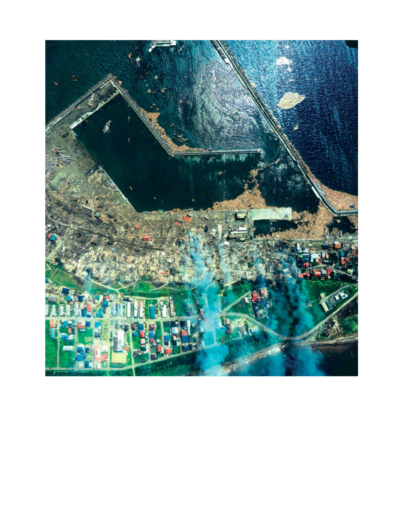
The tsunami destroyed houses and caused oil leaks and fire in the Aonae area of Okushiri Island, northeastern Japan Sea
Photo: Kokusai Kogyo