


 98 / 156

[
] 98
prompt and efficient evacuation, it is important to be prepared
to help vulnerable groups including the elderly, women and
children, who tend to fall behind. Therefore, a list of those who
need help with evacuation is prepared and updated, and an
evacuation assistance plan is formulated for each community.
Specifically, the elderly are encouraged to take a walk along the
evacuation route as part of their daily exercise routine, and
school children have a social studies class to learn about disas-
ter management.
Furthermore, community workshops on tsunami hazard maps
were carried out, as once hazard maps are distributed by the
governmental authority to the residents, this could result in a
passive attitude among residents and poor consciousness as
evacuees. In the workshops, participants living in a neighbour-
hood work together to locate their houses, the houses of those
who need assistance with evacuation, the nearest evacuation
area and evacuation routes on a large-scale blank map using the
hazard map. This activity can develop each individual’s ability
to behave appropriately in the event of a tsunami, but will also
promote risk communication in the community, improving
hazard management at the community level.
In Wakayama Prefecture, the hazard map will be further
utilized in various aspects of community development to facil-
itate the roles of local government and individual residents in
disaster management.
A tool to save human lives
Tsunamis do not occur often, but when they do they can cause
catastrophic disaster, as recognized by many people as a result
of the 2004 Indian Ocean tsunami disaster. Although earth-
quakes can happen unpredictably, it may still be possible to
evacuate from earthquake-caused tsunamis prior to their arrival,
and save human lives if the earthquake centre is at some
distance. Kokusai Kogyo is determined to continue making a
steady effort to strengthen its technologies and promote the
advanced application of tsunami hazard maps.
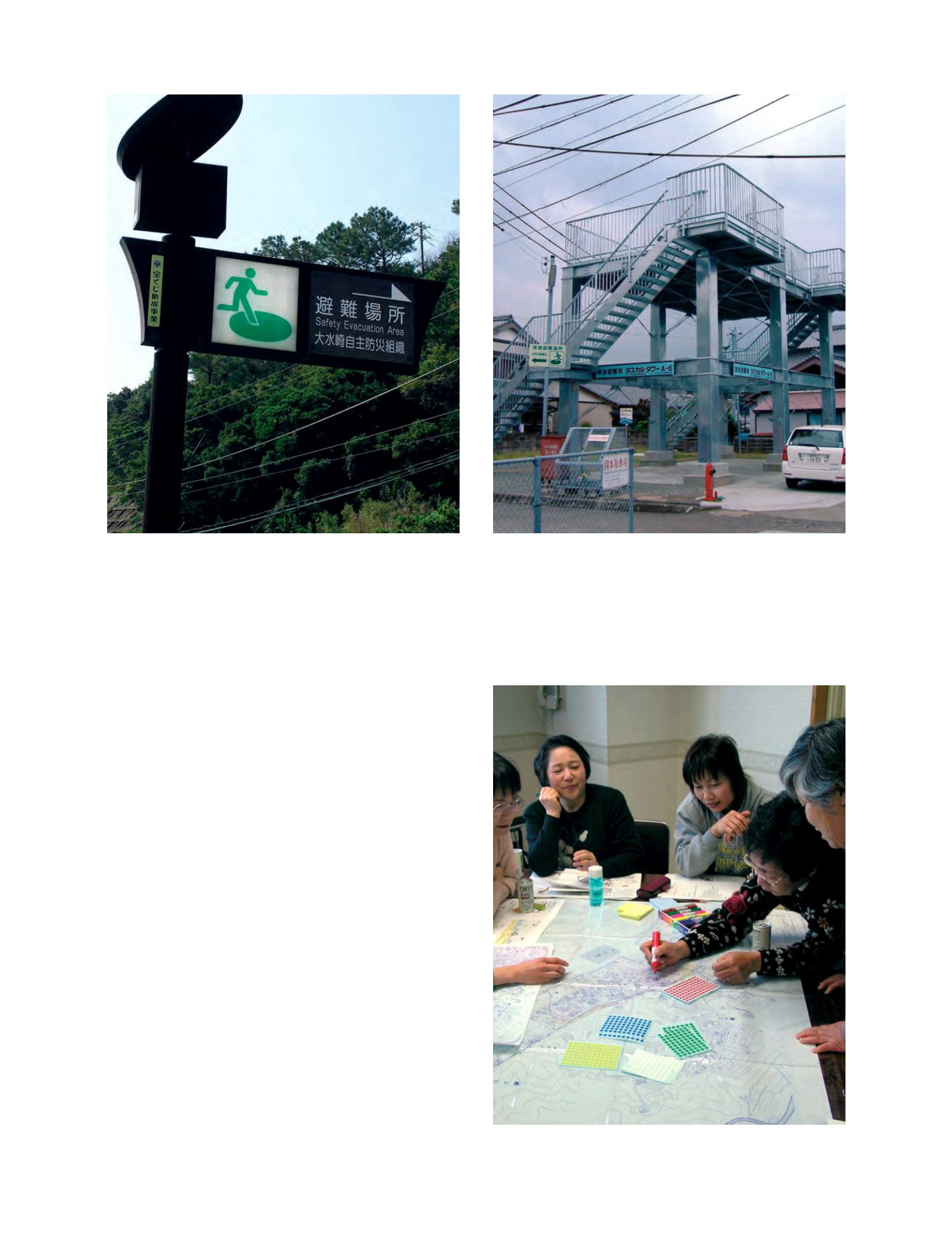
A solar-powered signpost indicating a tsunami evacuation route
Photo: Kokusai Kogyo
A newly constructed town centre tsunami evacuation tower
Photo: Kokusai Kogyo
A community workshop using a hazard map
Photo: Kokusai Kogyo