


 137 / 196

[
] 135
How the Global Earth Observation
System of Systems can support disaster managers
José Achache and Veronica Grasso, Group on Earth Observations
H
azards such as wildland fires, volcanic eruptions, earth-
quakes, tsunamis, land subsidence, landslides, avalanches,
storms and floods are an inevitable part of living on this
planet. Fortunately, we can often minimize the likelihood of such
hazards turning into disasters that destroy human life and prop-
erty. One way we can reduce risks is to use Earth observations for
monitoring and predicting emerging hazards, providing early
warnings and responding and adapting to those disasters that we
cannot fully avoid.
Timely access to weather forecasts, satellite images, in situ data about
water levels or seismographic changes, and maps that integrate infor-
mation on transport routes, health services, and socioeconomic
conditions can save uncounted lives. The key words here are access
and integration. This is why the Group on Earth Observations (GEO)
is actively seeking to empower decision-makers and disaster
managers with rapid access to integrated data and information
services from a diverse range of sources.
To achieve this, GEO’s 120 member governments and interna-
tional organizations are constructing a Global Earth Observation
System of Systems (GEOSS). In addition to addressing climate
change, public health, biodiversity and other critical issues, GEOSS
promises to improve our ability to monitor, forecast, mitigate and
respond to natural, human-induced, and compound
hazards and disasters. It will also strengthen the capac-
ity of disaster managers for exploiting disaster-related
information and for coordinating monitoring and
prediction activities with those of experts in other fields.
GEO’s disaster-management activities
GEO is building GEOSS through a series of activities to
which governments and organizations voluntarily
contribute. Its key tasks on disaster management are the
following:
Reducing earthquake damage by strengthening seismo-
graphic networks
– Interlinking national and regional
seismographic networks and extending their coverage to
more ocean regions will help to improve earthquake
prediction. It will give researchers and experts greater
access to real-time and historical seismological data and
products. GEO is working closely with the International
Federation of Digital Seismograph Networks to improve
global seismographic networks and to encourage data
sharing among GEO’s participating members.
Establishing a global tsunami early warning system
–
UNESCO’s
Intergovernmental
Oceanographic
Commission is leading GEO’s effort to improve the
network of ocean-bottom systems for tsunami detection.
A key aspect of this work involves integrating this
network with land-based sensors and satellite-based
optical and radar instruments. These networks also need
to be made interoperable with emergency-response
systems and with other relevant observation systems.
Constructing a global early warning system for wildland
fire
– The high level of loss and destruction caused by
wildfires highlights the need for improving early warning
systems. Disaster managers, fire-fighters, foresters and
vulnerable communities need timely information about
the location and trajectory of blazes, while researchers
and risk-reduction experts must be able to monitor and
analyse trends in the frequency and distribution of forest
fires. The GEO wildfire team is working to improve and
coordinate existing warning systems and risk models. It
is also addressing information gaps and the need for
training and capacity building.
A prototype of this global early warning system has
already been established for sub-Saharan Africa. The
South African Advanced Fire Information System (AFIS)
is the first near-real-time, satellite-based fire monitor-
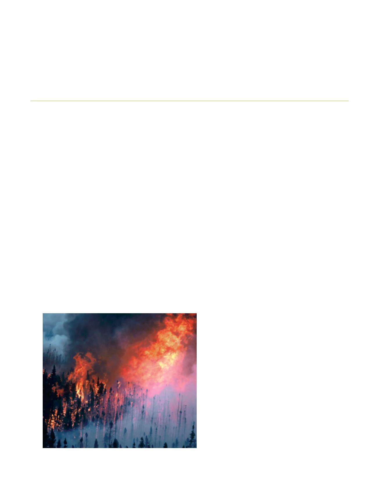
Northern boreal forest fire
Image: Canadian Forest Service, Natural Resources Canada